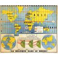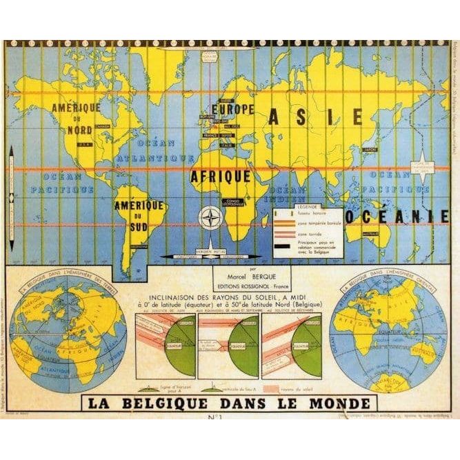

Belgium Old 1960s Map Atlas Globe French School Chart Postcard
- Condition : See Descr.
- Dispatch : Same Day
- Brand : None
- ID# : 230328605
- Quantity : 1 item
- Views : 27
- Location : United Kingdom

- Seller : crowncollectables (+1510)
- Barcode : None
- Start : Fri 30 May 2025 18:00:28 (EDT)
- Close : Run Until Sold
- Remain : Run Until Sold
International Shipping to United States  for 1 item(s) edit
for 1 item(s) edit
Royal Mail International Standard = £4.95 ($6.58)
Shipping Calculator
More Listings from This Seller view all


Seller's Description
ed3 An incredible and most specialist collectors postcard published circa ten years ago being part of a series of educational wall charts used in schools in France in the 1960s this showing a map of France being the exact educational chart used throughout schools and universities in the mid twentieth century some 60 years ago making this a truly unique opportunity unused and mint
Listing Information
| Listing Type | Gallery Listing |
| Listing ID# | 230328605 |
| Start Time | Fri 30 May 2025 18:00:28 (EDT) |
| Close Time | Run Until Sold |
| Starting Bid | Fixed Price (no bidding) |
| Item Condition | See Descr. |
| Bids | 0 |
| Views | 27 |
| Dispatch Time | Same Day |
| Quantity | 1 |
| Location | United Kingdom |
| Auto Extend | No |
Seller Recent Feedback
Returns Policy
Returns Accepted