CHARTING OF OCEANS: TEN CENTURIES OF MARITIME MAPS by Peter Whitfield GREAT MAPS
- Condition : Used
- Dispatch : 4 Days
- Brand : Maps
- ID# : 210381425
- Quantity : 1 item
- Views : 239
- Location : United States

- Seller : europroducts (0)
- Barcode : None
- Start : Tue 20 Sep 2022 13:36:05 (EDT)
- Close : 3 days > 1st bid
- Remain : 3 days > 1st bid
 for 1 item(s)


Seller's Description
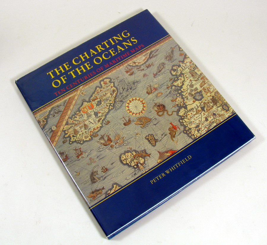
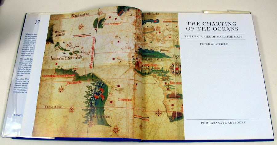
by Peter Whitfield
Publisher: Pomegranate Artbooks, 1996, Rohnert Park, CA
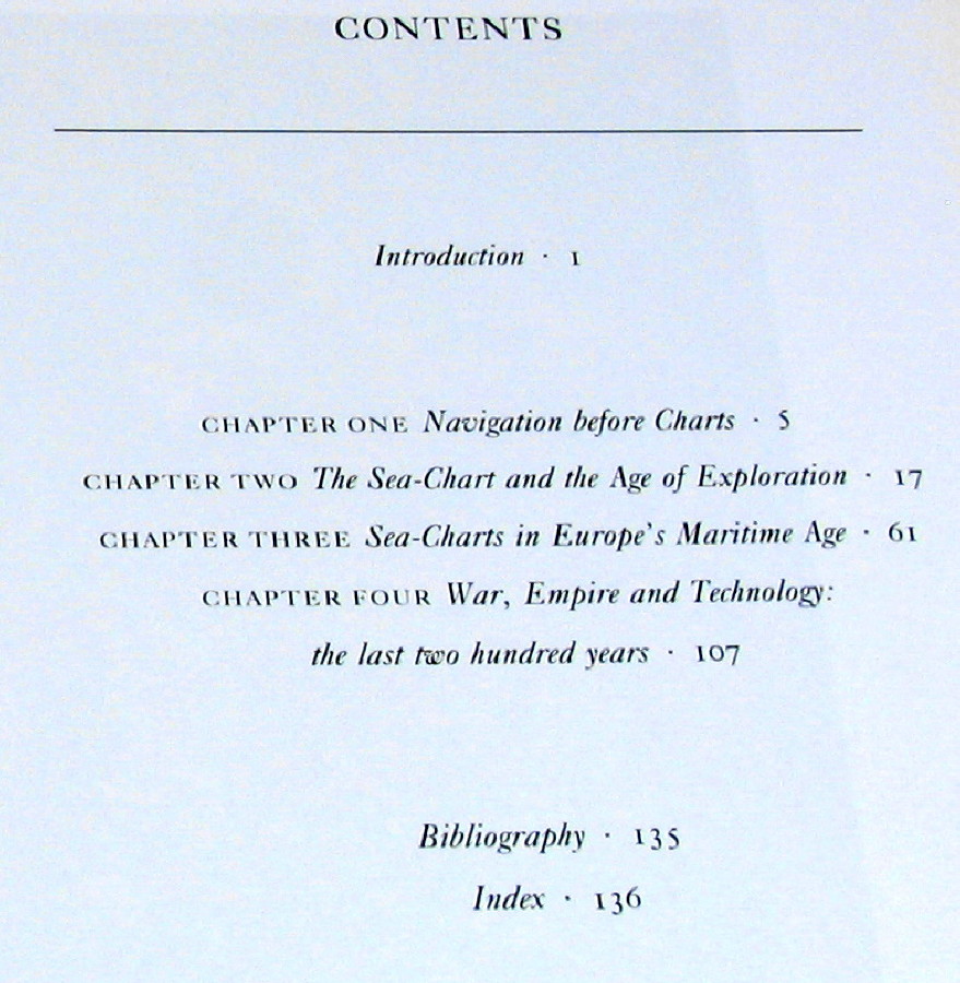
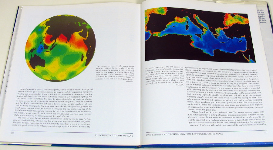
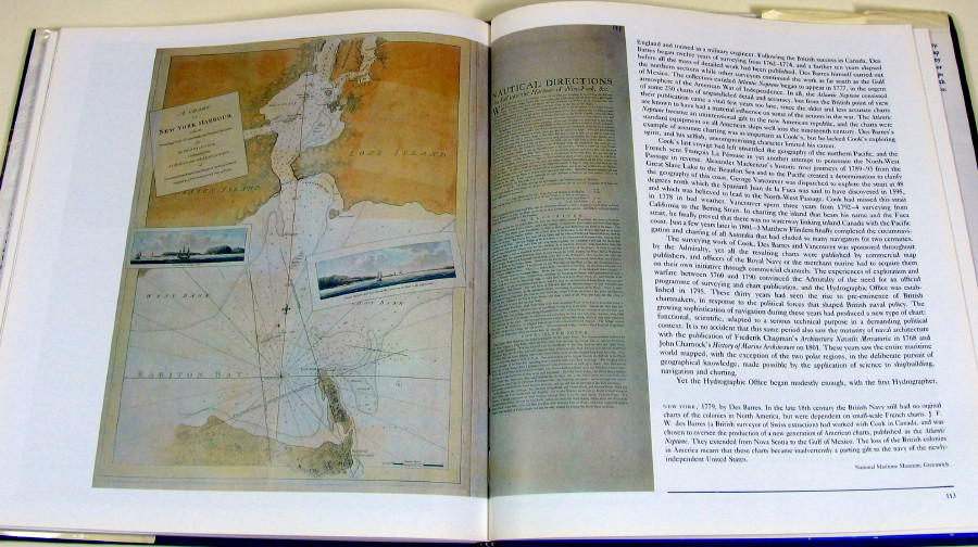
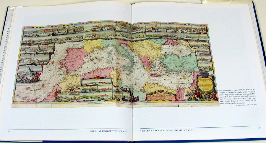
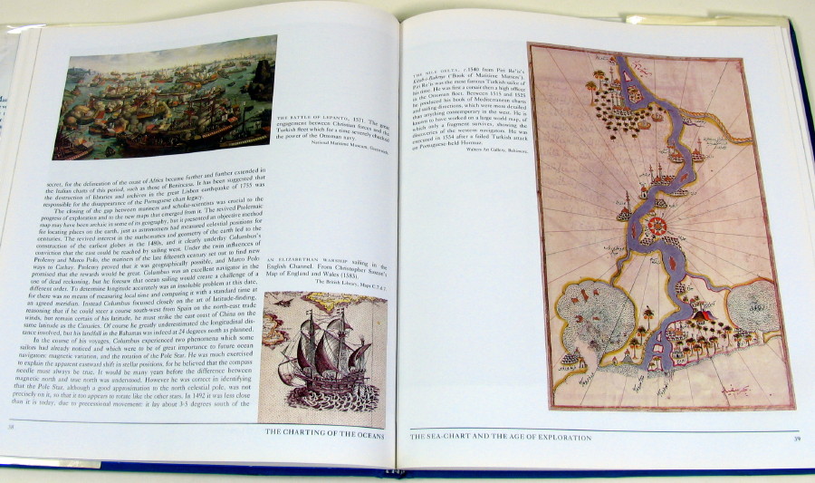
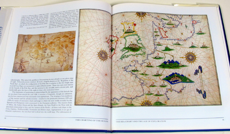
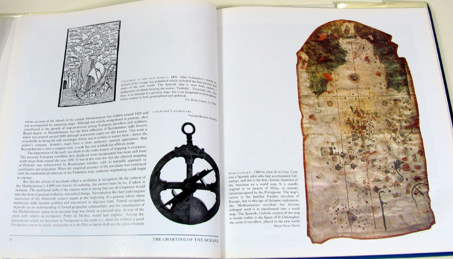
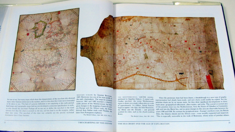
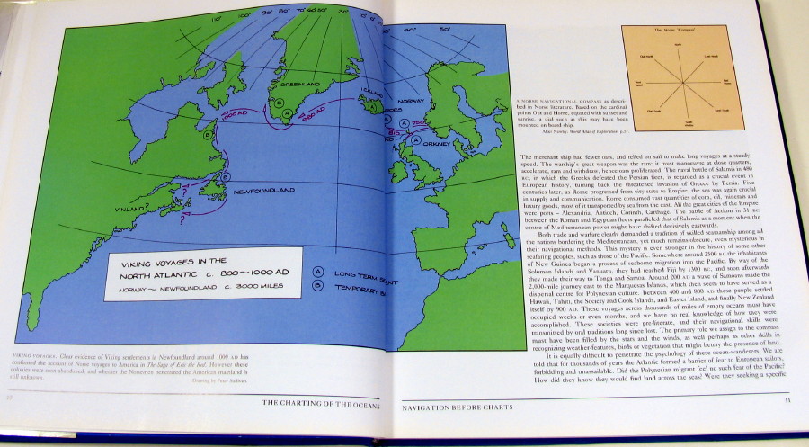
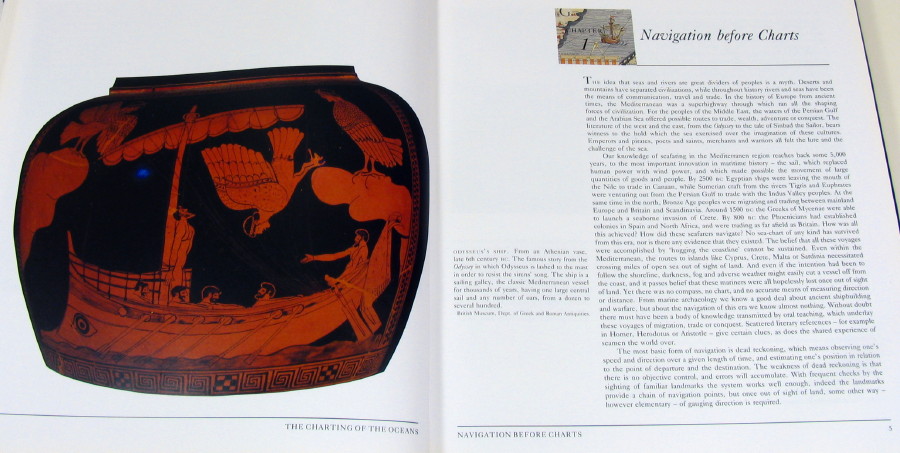
A large format book, full of old maps from European charting traditions. Indexed and fully illustrated. Shows the artistry of the map/chart makers throughout the centuries. Covers the early Greek period and the early Polynesian migrations without maps, through to the modern satellite imagery era. Many B&W photographs and color photos. 136 pages, bibliography and index.
In very good condition, with minor wear to the extremities of slipcover. The hardcover binding is in excellent condition and all pages are clean & crisp with no writing or other marks. Like new condition.
Size: 10 ¾” x 11 ½"
Click Link Below To See Our Other Similar Listings:
International buyers are responsible for knowing their own customs & importation rules with respect to the item(s) being purchased and pay for the customs fees imposed.
All invoices will show the full purchase price of the item(s) being shipped.
Thank you for looking.
Click Link Below To See Our Other Similar Listings:
Listing Information
| Listing Type | Gallery Listing |
| Listing ID# | 210381425 |
| Start Time | Tue 20 Sep 2022 13:36:05 (EDT) |
| Close Time | 3 days > 1st bid |
| Starting Bid | $9.00 |
| Item Condition | Used |
| Bids | 0 |
| Views | 239 |
| Dispatch Time | 4 Days |
| Quantity | 1 |
| Location | United States |
| Auto Extend | Yes |
Seller Recent Feedback
Returns Policy
Domestic returns only if item is not as described. Not if buyer does not like it or can't afford it. Buyer pays return shipping.
International returns not available. Except only if item is not as described. Buyer pays return shipping.